December 13, 2021 - To Johnson City, TN
|
|
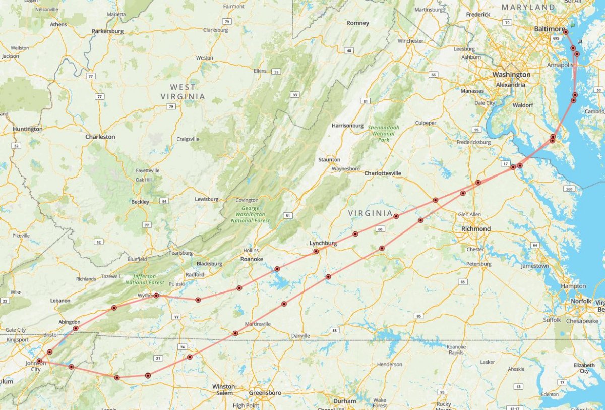
I was flying down to Johnson City, Tennessee to visit my Mom, leaving Monday and coming back Friday. When flying southeast, you have to go around the Special Flight Rules Area (SFRA) -- the airspace formerly known as the Washington D.C. Air Defense Identification Zone (ADIZ). For me, flying out of Essex Skypark, it means going either west towards Frederick or south towards St. Mary's. On the Frederick route, you basically fly southwest through the Shenandoah Valley. On the St. Mary's route, you fly down the eastern side of the Appalachian Mountains until crossing over south of Roanoke. I've gone both ways many times. For the trip down, I decided to fly the St. Mary's route.
|
| |
 |
|
|
The weather was perfect, except for one thing, and it's an important thing: I had a headwind the entire way.
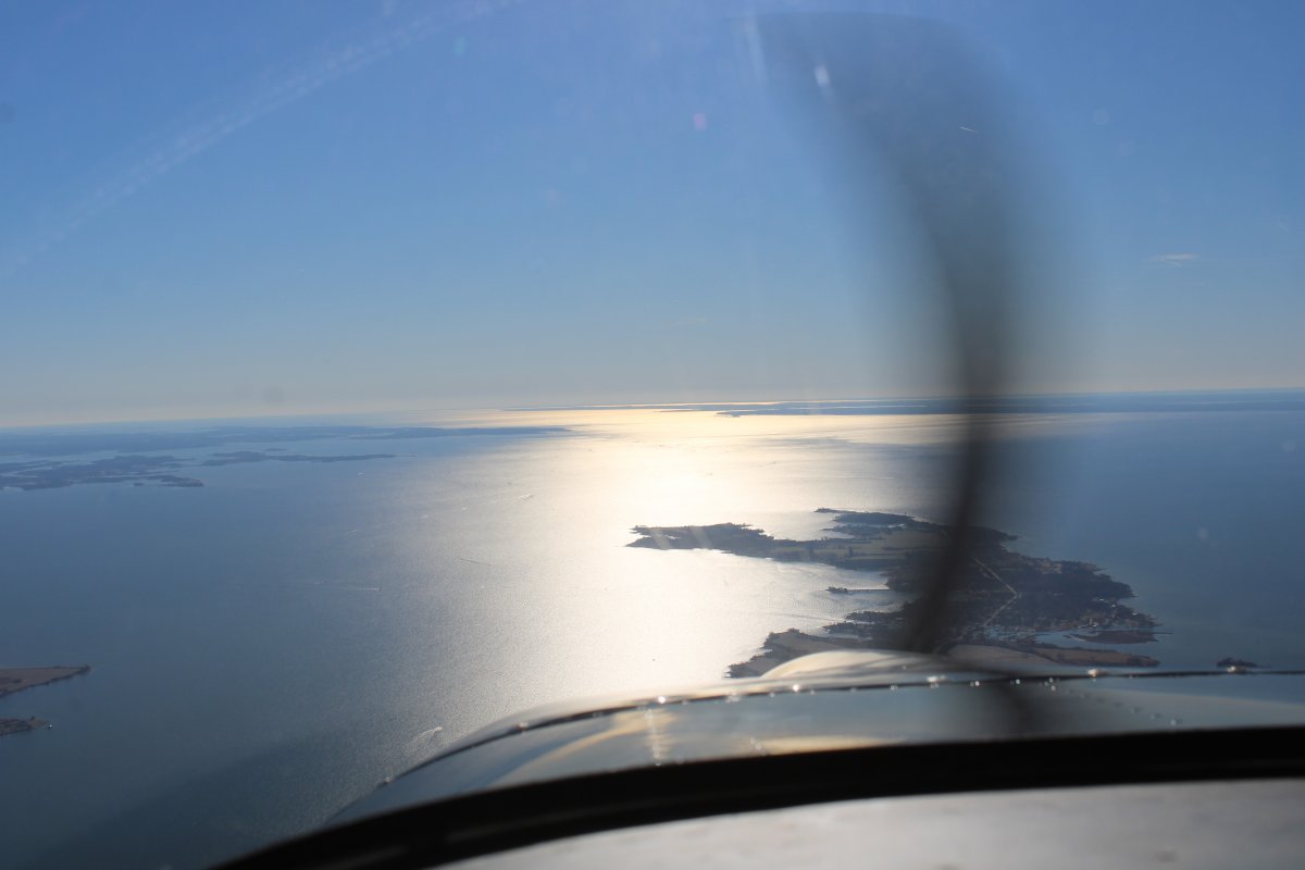
Here, I'm flying down Tilghman Island, after which I'll cross the Chesapeake Bay southwest over to St. Mary's.
|
| |
 |
|
|
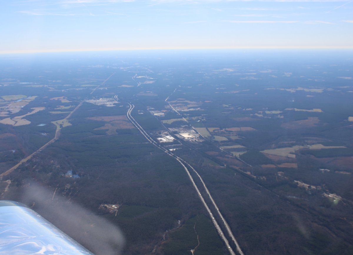
About to cross over Interstate 95. I'm so happy to be up in my plane and not down there in the car.
|
| |
 |
|
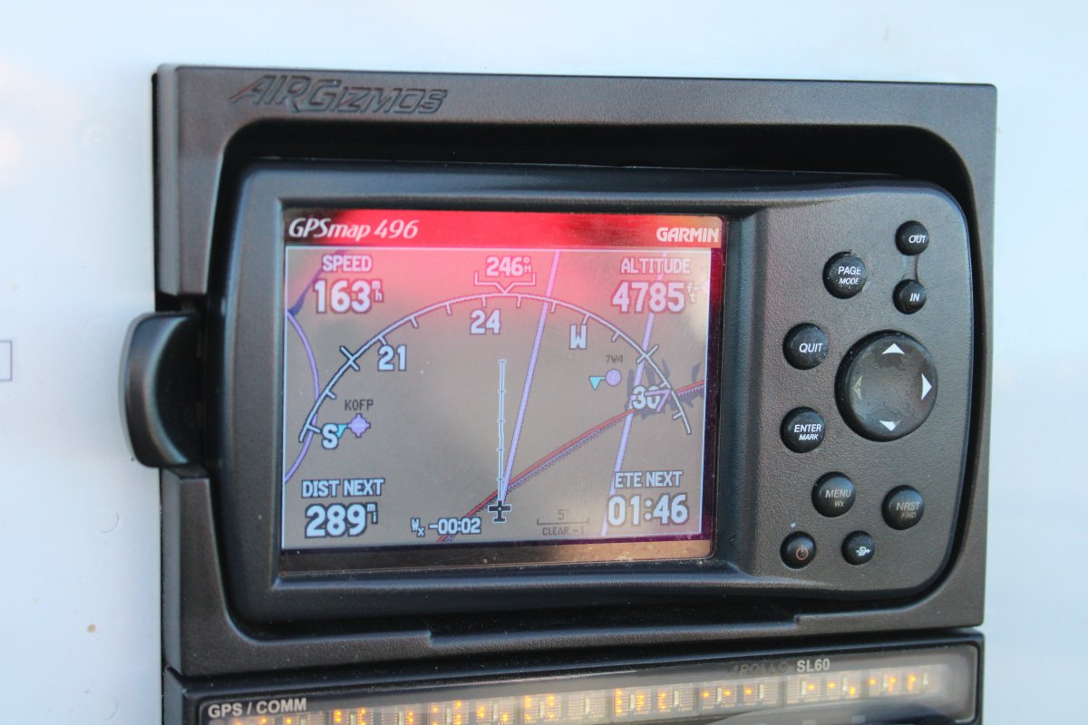
| The headwind slows me down into the 160s for most of the flight. Still, it's much faster than driving. And more fun too. And you don't have to worry about all those big trucks on Interstate 81. |
| |
 |
|
|
Passing by Slate River Airpark which is a privately-owned airstrip part of the Slate River Ranch. The Ranch is home to a beautiful collection of well-bred and trained cutting horses and together encompass approximately 3,000 acres.
|
| |
 |
|
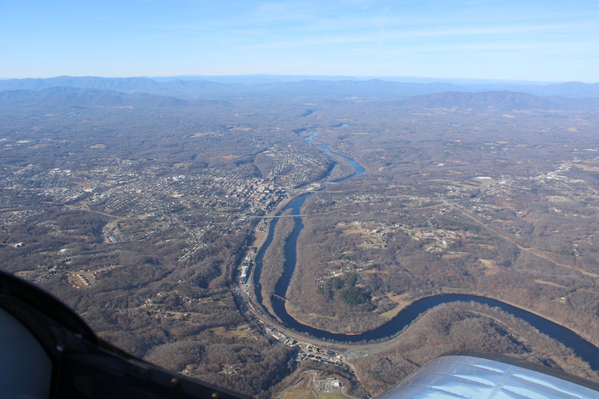
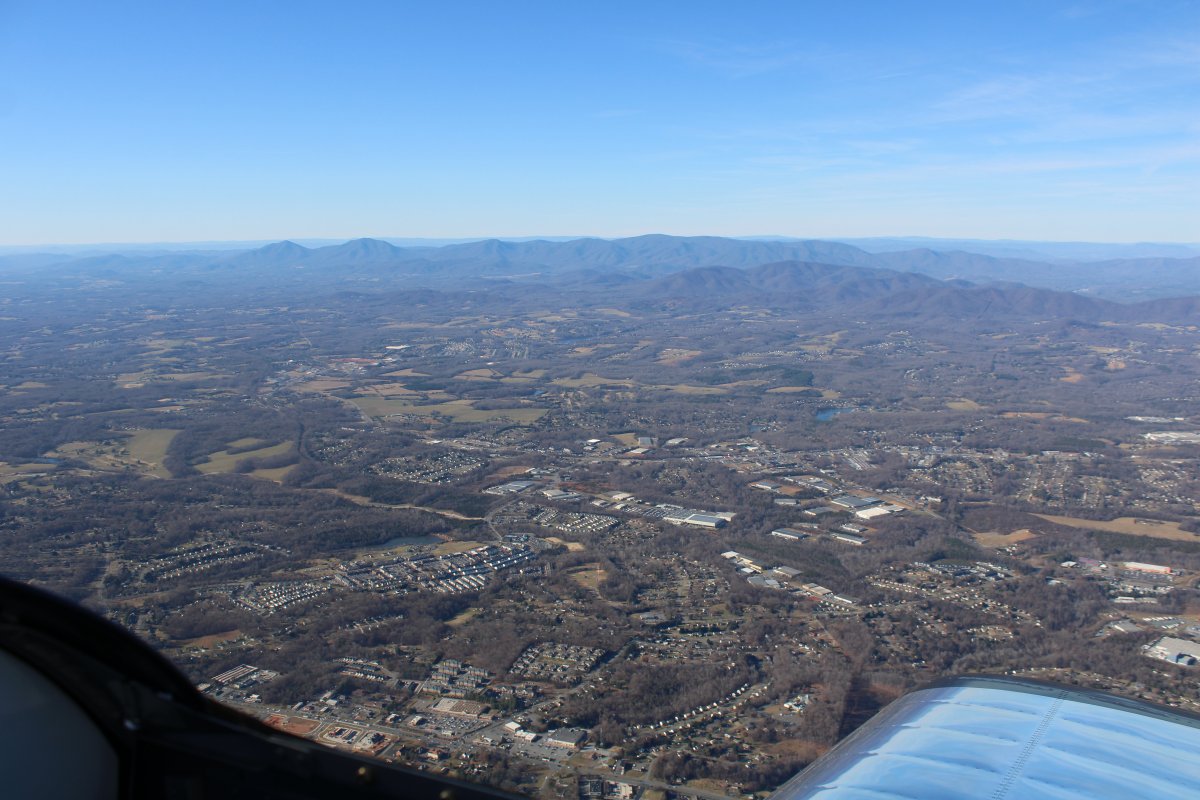
| Passing by Lynchburg, Virginia on the south side of the James River. |
| |
 |
|
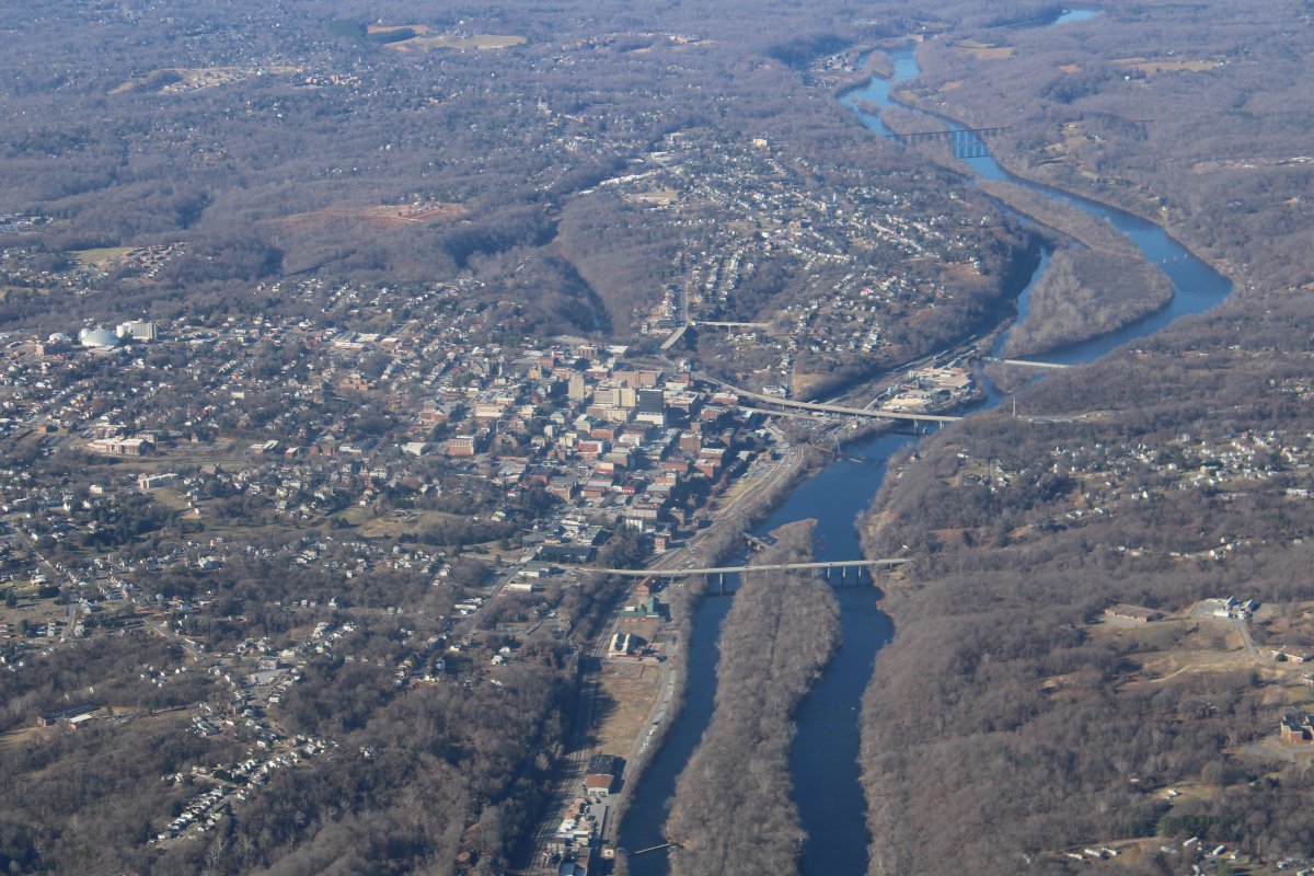
| Close-up of Lynchburg. |
| |
 |
|
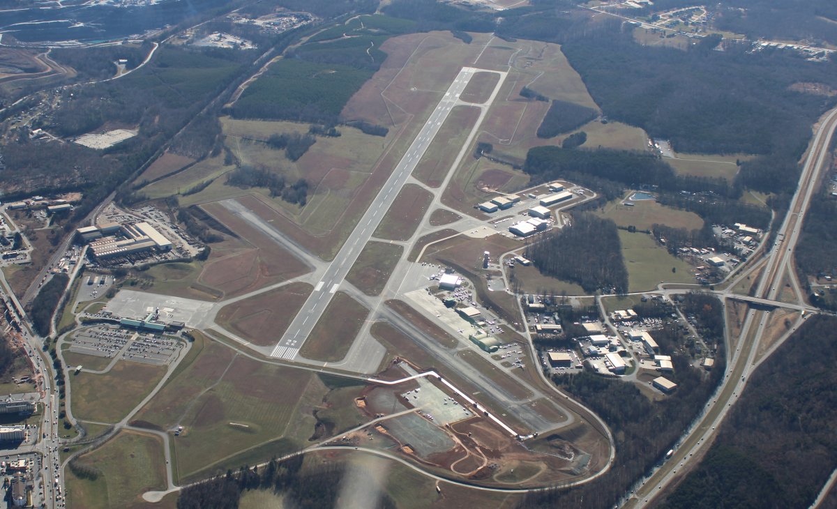
| Looking down at Lynchburg Regional Airport which has a control tower. I'm well above their Class D airspace. |
| |
 |
|
|
I'll be intersecting the mountains soon.
|
| |
 |
|
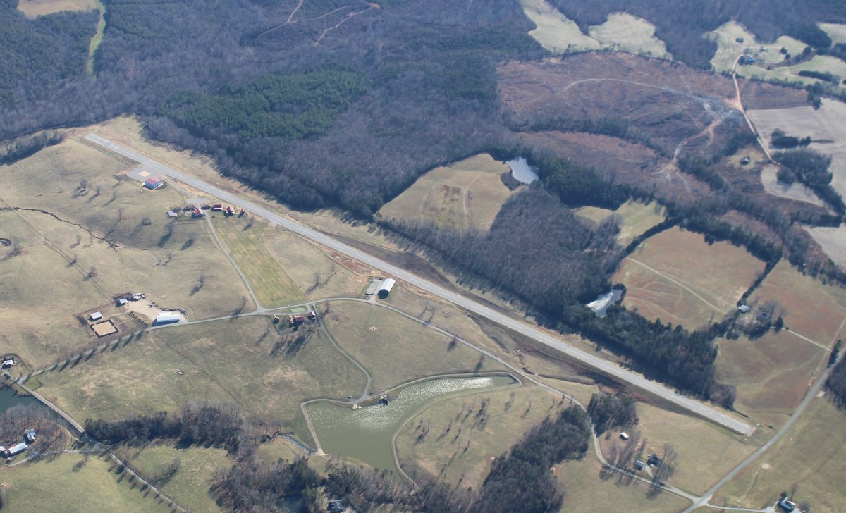
| Just southwest of the big Lynchburg Airport is little New London Airport (W90). I landed here briefly a couple of years ago. |
| |
 |
|
|
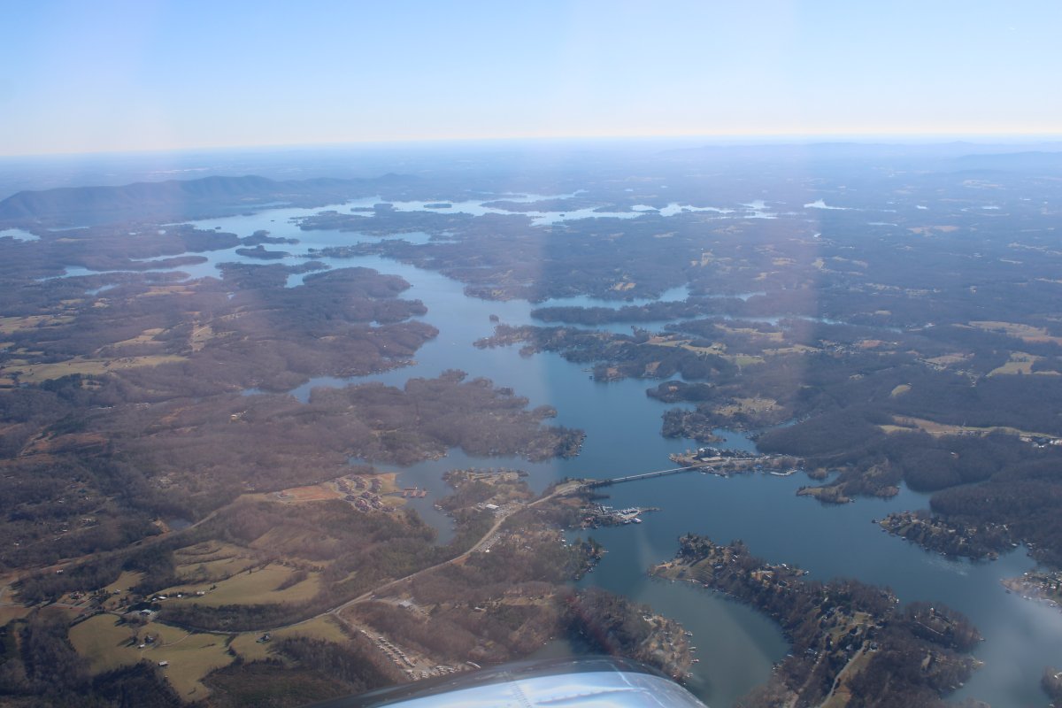
Looking southeast at big Smith Mountain Lake.
|
| |
 |
|
| Looking northwest as the Roanoke River heads towards, you guess it, Roanoke. |
| |
 |
|
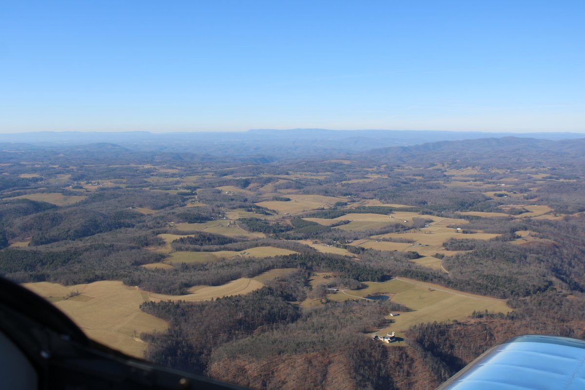
| Southwest of Roanoke is this large high plateau I've noticed on previous flights. People do live up here but it is sparsely populated. |
| |
 |
|
| Passing by the New River. |
| |
 |
|
|
I'm approaching an intersection with Interstate 81, the road I'd be on if I was driving.
|
| |
 |
|
| A close-up of Interstate 81. |
| |
 |
|
|
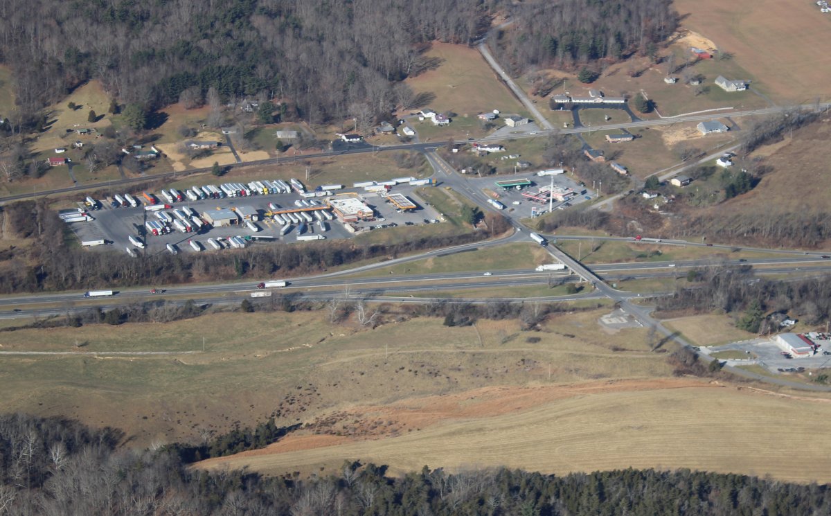
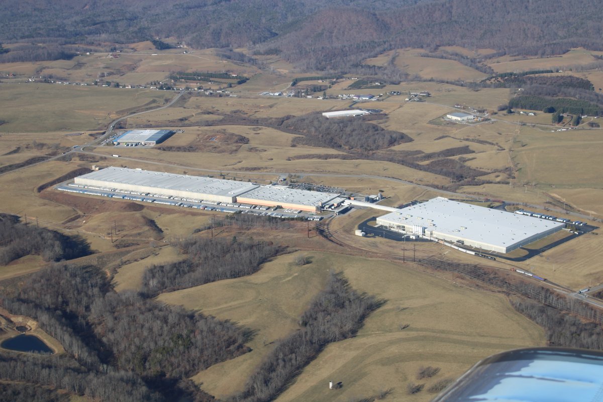
Huge warehouse.
|
| |
 |
|
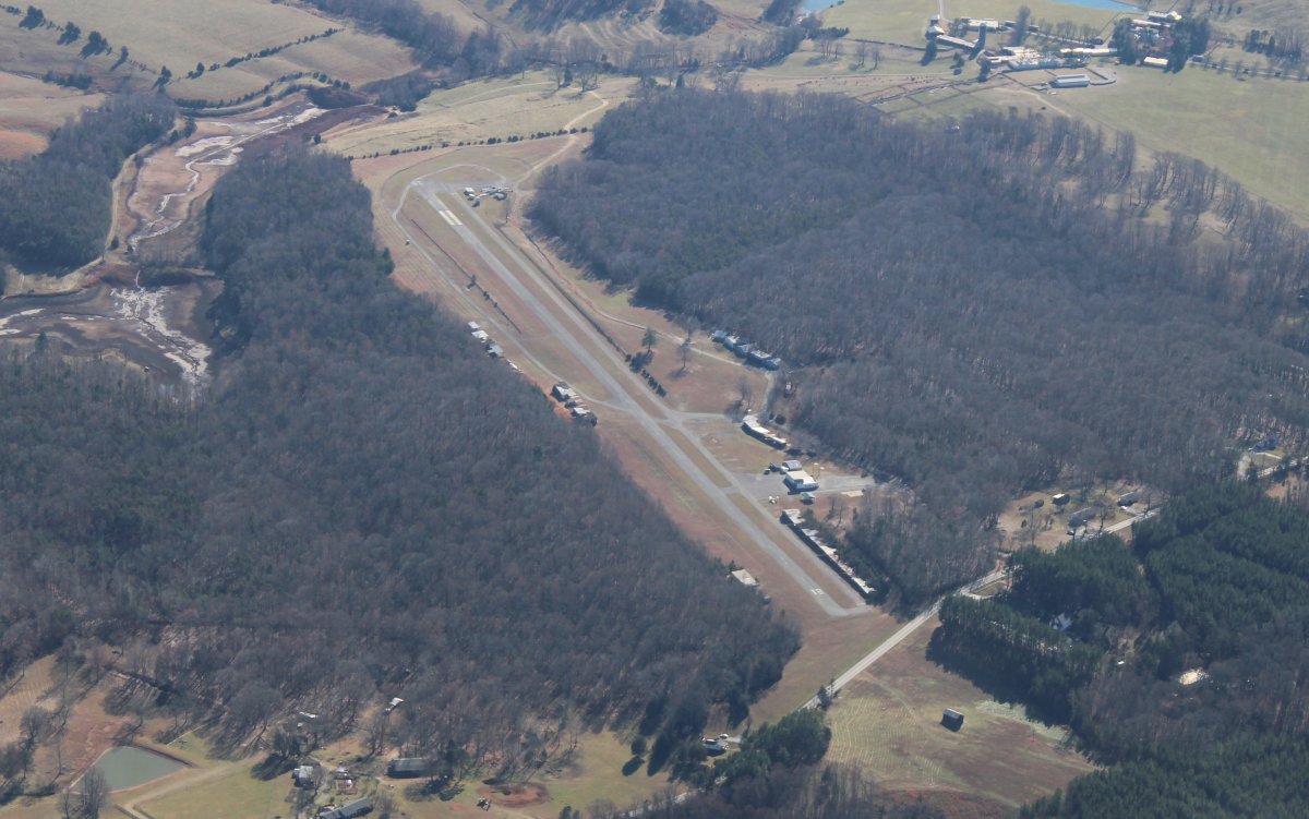
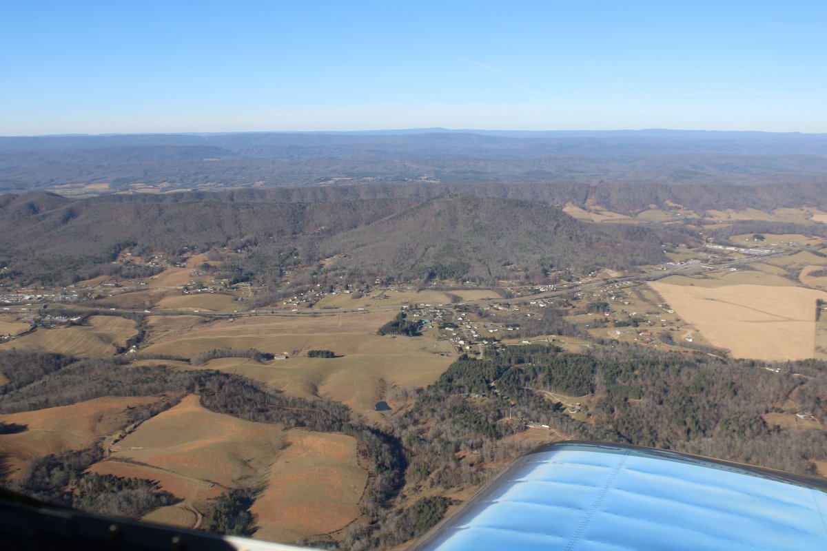
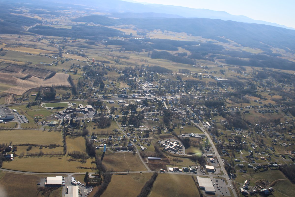
| The little town of "Rural Retreat" which Mountain Empire Airport serves. |
| |
 |
|
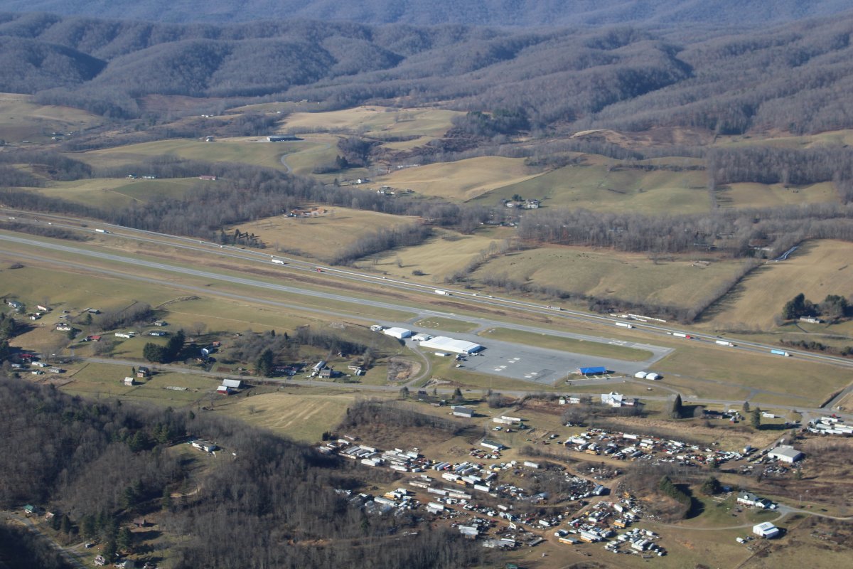
| A little further west is Mountain Empire Airport which sits alongside I-81. It's a nice, friendly airport; I've stopped here for fuel many times. |
| |
 |
|
|
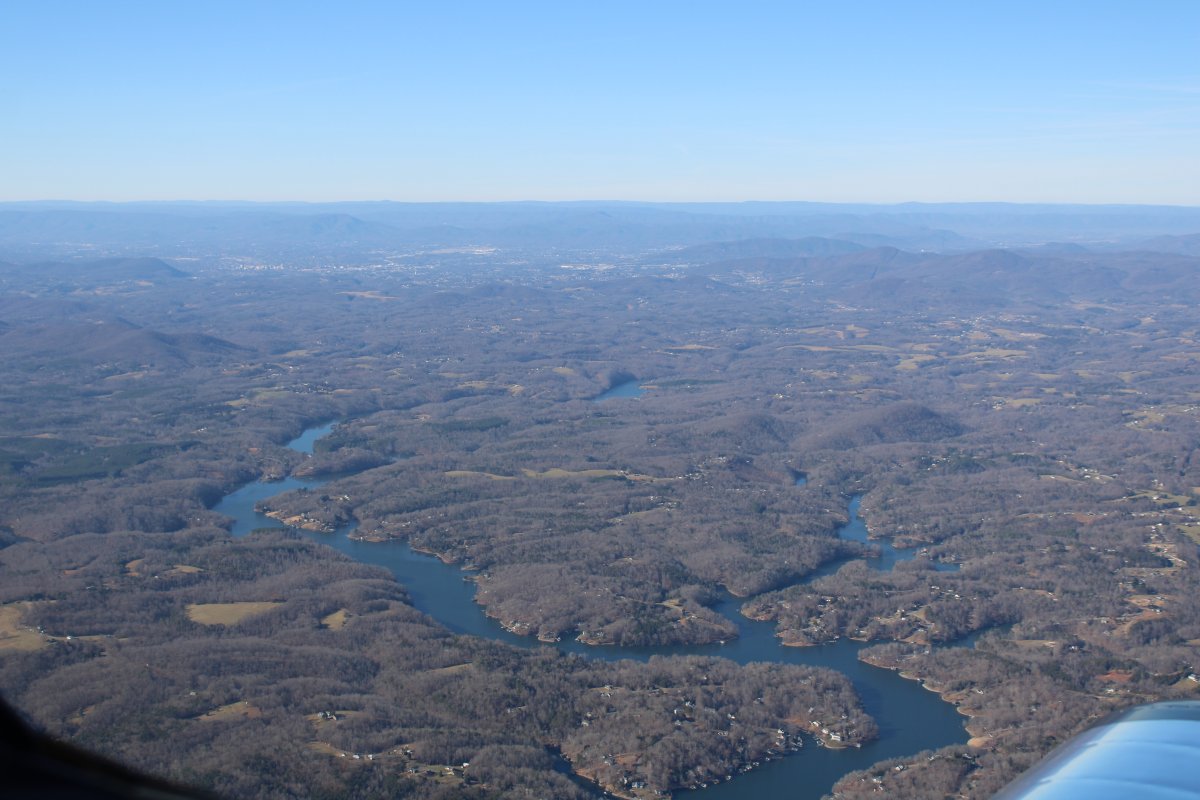
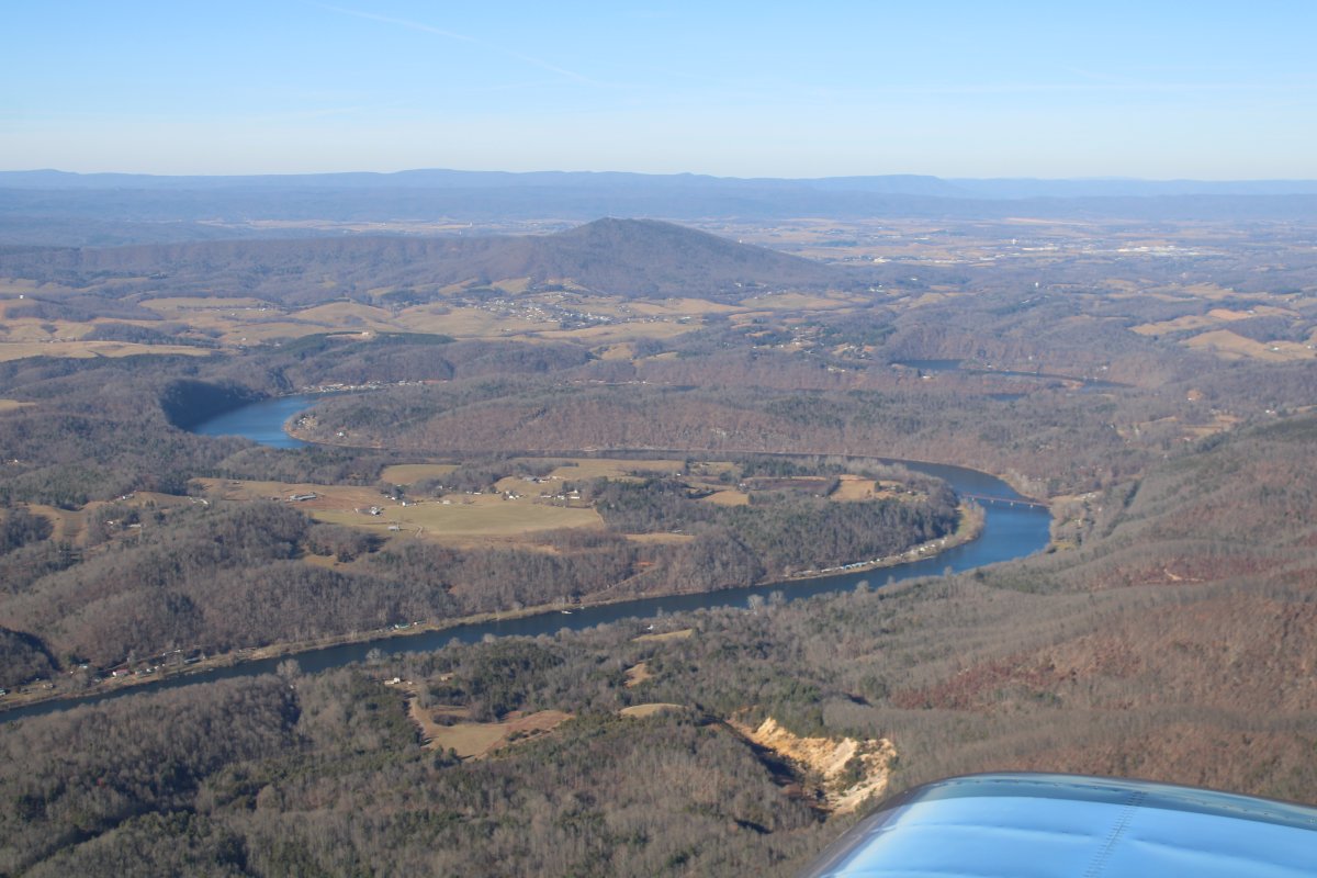
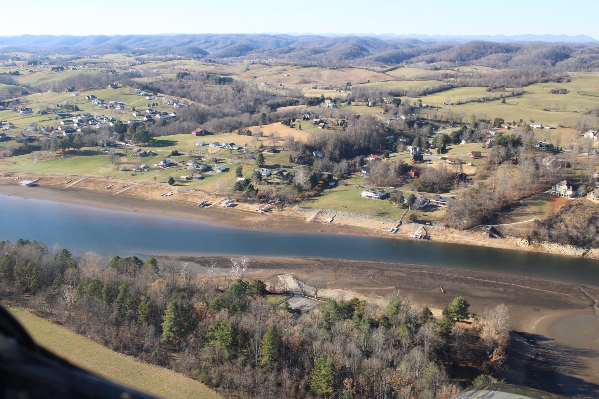
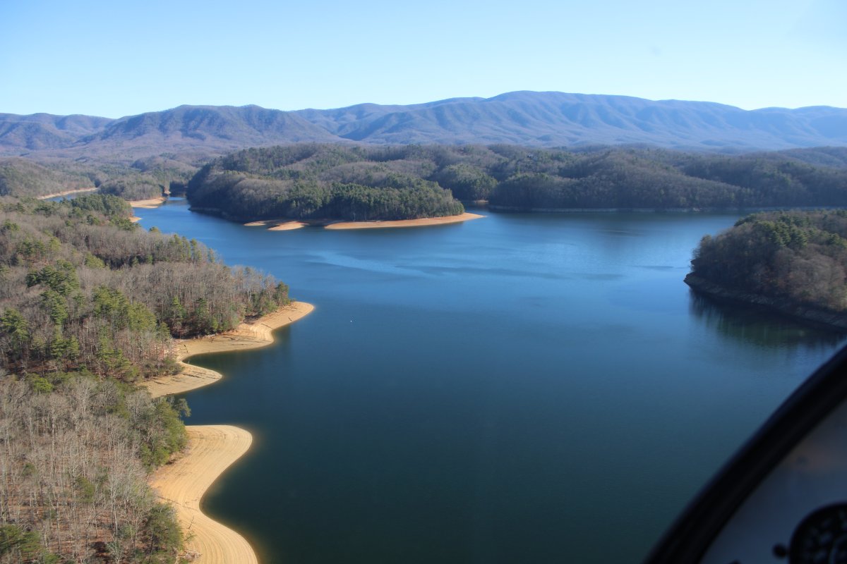
At the north end of South Holston Lake. Look how low the Lake is!
|
| |
 |
|
|
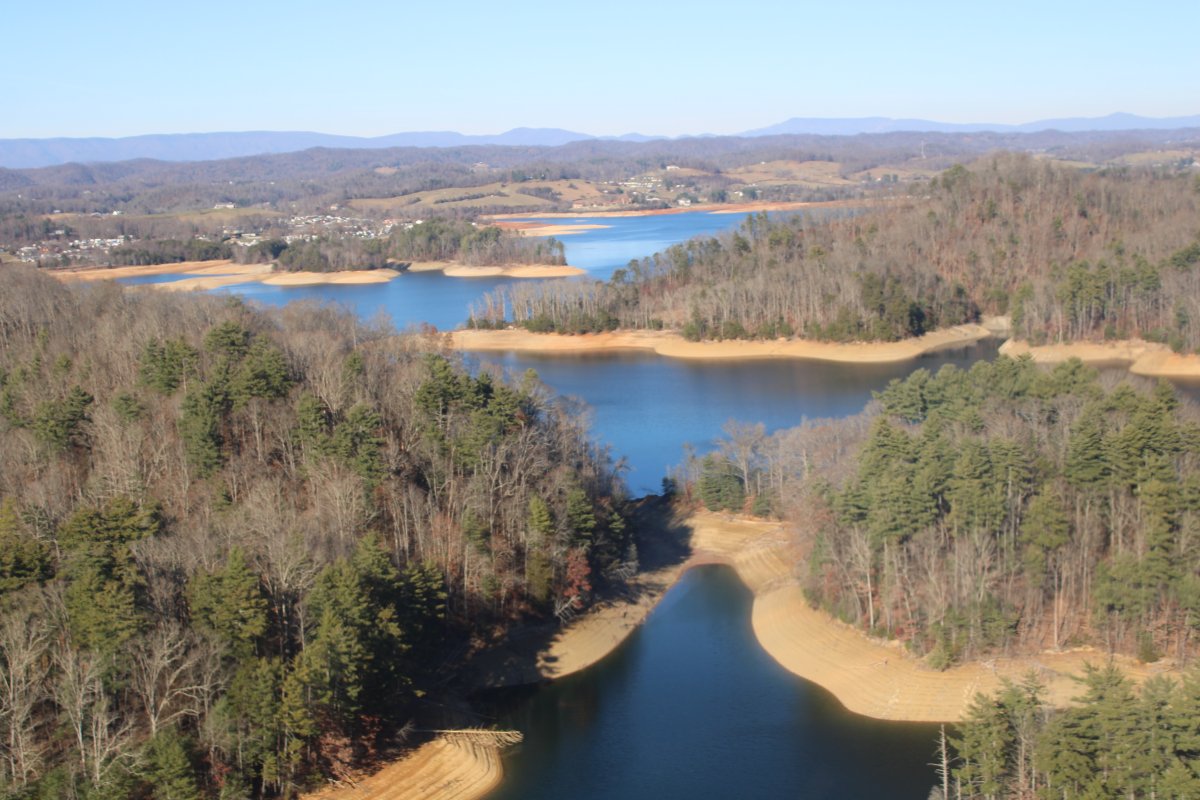
The Lake opens up as I head south.
|
| |
 |
|
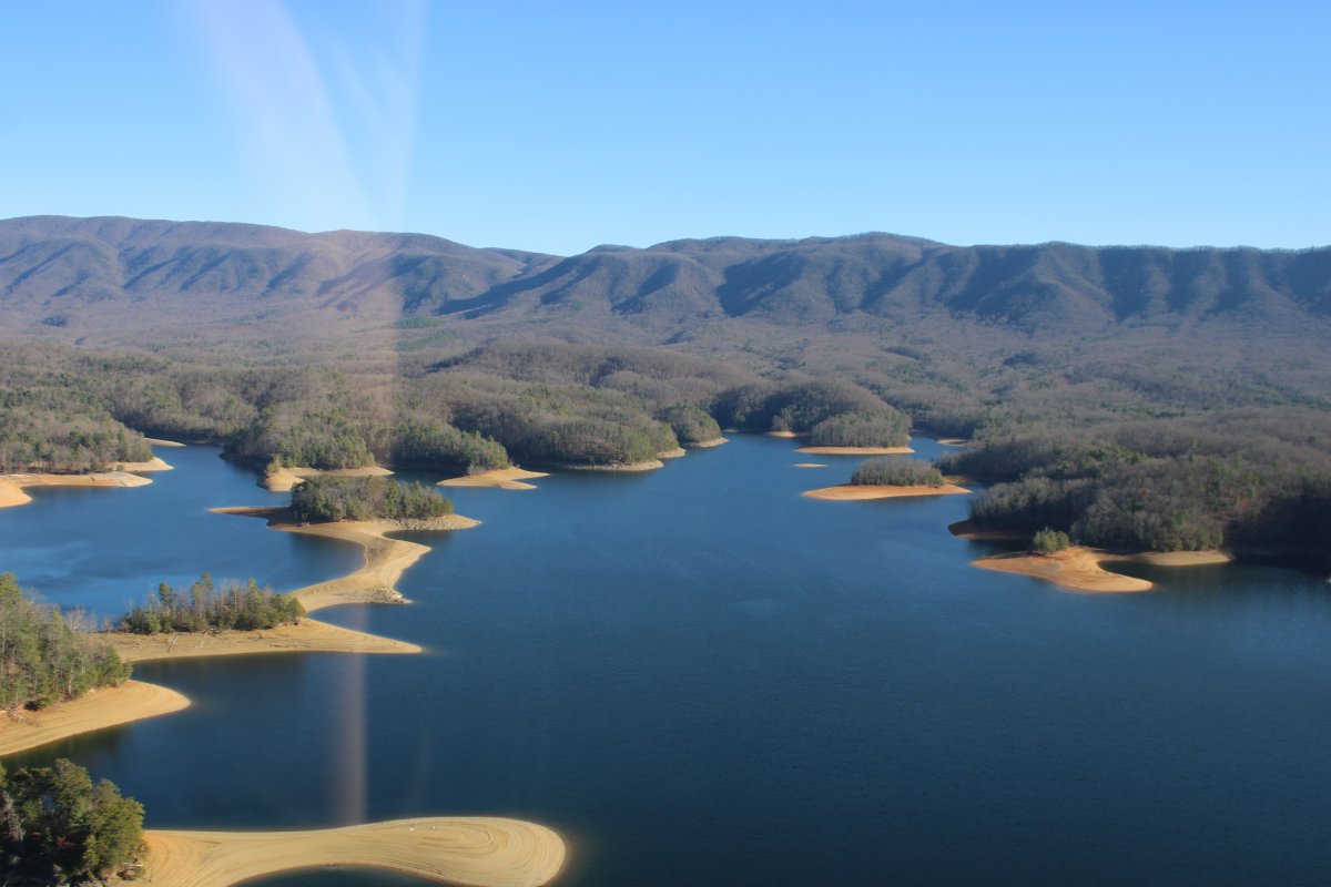
| I've never seen the Lake this low. |
| |
 |
|
| |
| |
 |
|
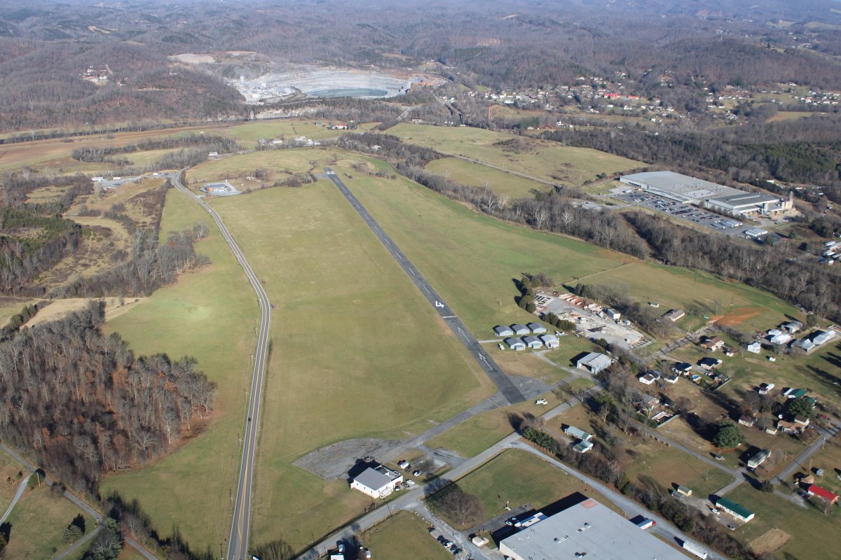
| Soon I'm overhead my destination at Johnson City Airport (0A4). |
| |
 |
|
|
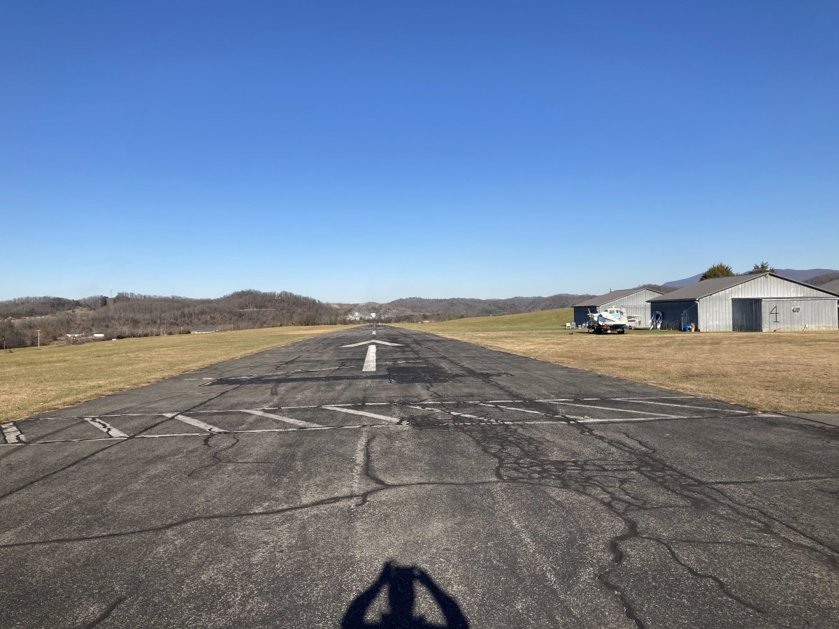
Looking northeast down Runway 4. I usually land on runway 22 (slight uphill) and takeoff on runway 4 (slight downhill).
|
| |
 |
|
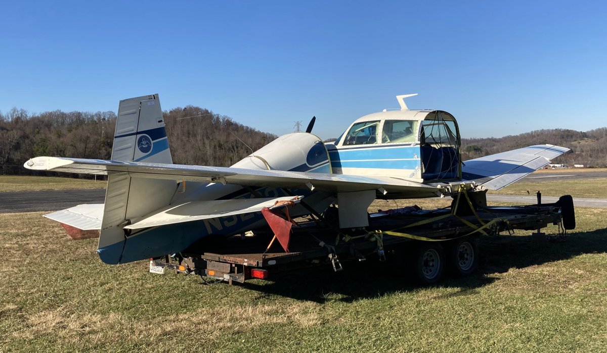
| A Mooney that needs a little tender loving care. |
| |
 |
|
|
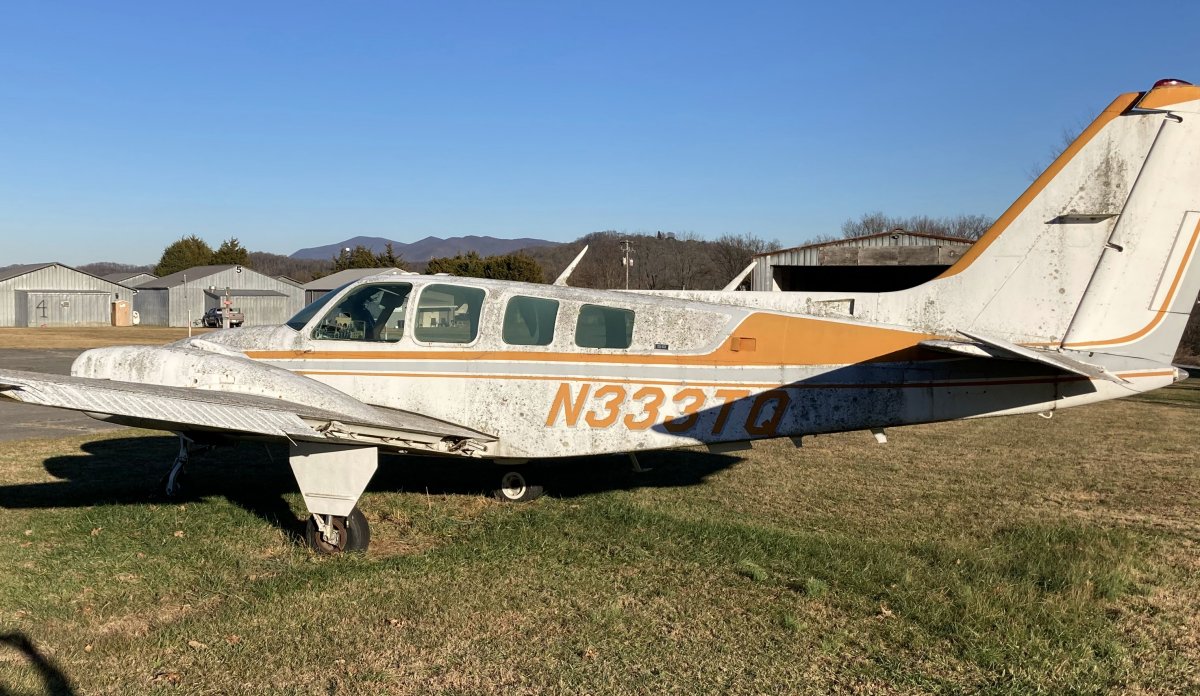
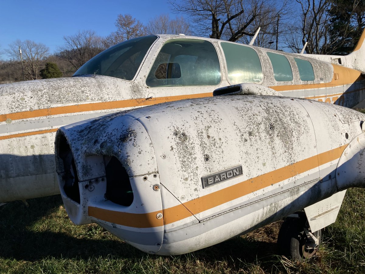
The old Baron at Johnson City Airport. A sad sight.
|
| |
 |
|
| The birds have just crapped all over this airplane. In the hot summer, the bird crap is fossilized on the airplane. |
| |
 |
|
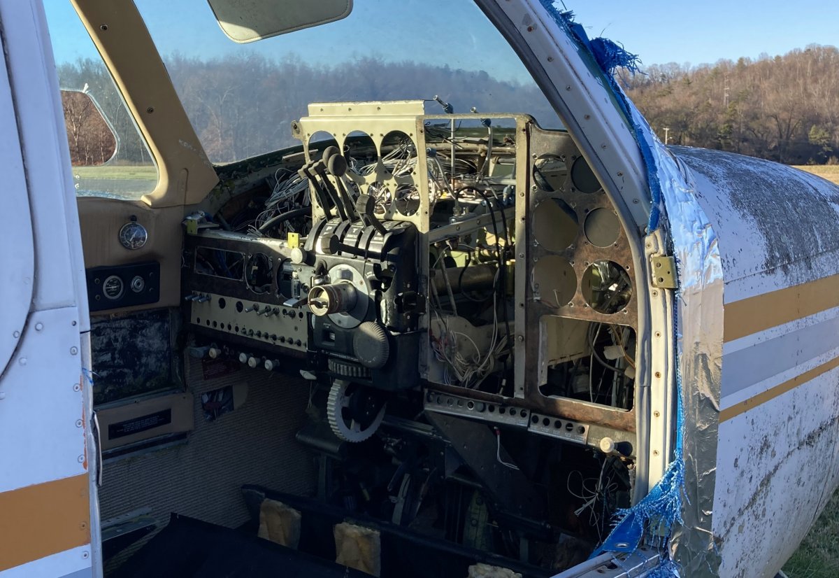
| The panel has been picked clean. |
| |
 |
|
| The engines are gone too, of course. |
| |
 |
|
|
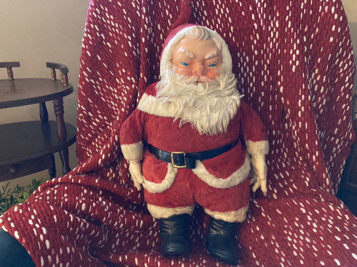
At my sister's house, the "Evil" Santa family heirloom that has been in the family as long as I have.
|
| |
 |
|
| |
| |
|
|
|
|
|
|